ArcGIS, ENVI and SARscape software
Capabilities, modules and use cases of the GIS and remote sensing software UNIGIS implements.
ArcGIS Enterprise and modules
Server components for building Web GIS: Knowledge Server, Image Server, GeoEvent Server and more.
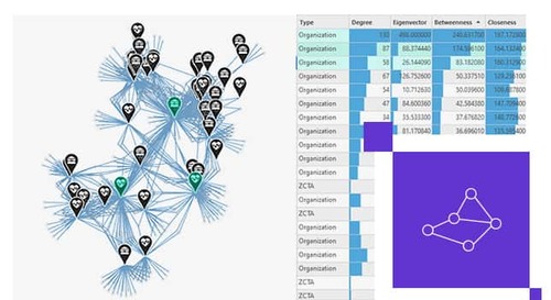
ArcGIS Knowledge Server: Going Beyond Traditional GIS with Knowledge Graphs
ArcGIS Knowledge Server lets you model, explore and analyze complex networks of relationships through Knowledge Graphs, going beyond traditional GIS analysis.
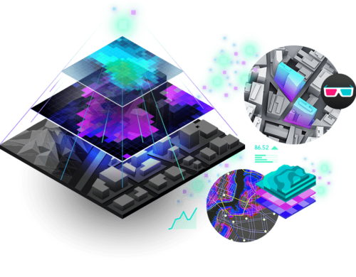
ArcGIS Image Server: Unlocking the Power of Imagery and Remote Sensing Data
ArcGIS Image Server is Esri's complete solution for managing, processing and serving large-scale imagery and raster data within the ArcGIS Enterprise platform.
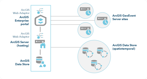
ArcGIS GeoEvent Server: Real-Time Data Processing and Analytics
ArcGIS GeoEvent Server harnesses real-time data, turning events as they happen into immediately actionable insight for monitoring, alerting and response.
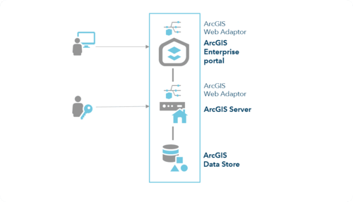
ArcGIS Enterprise: A Comprehensive GIS Platform for Your Organization
ArcGIS Enterprise is the foundational software system for building Web GIS: its four components, licensing model and ArcGIS Server roles explained.
ArcGIS Pro and modules
ArcGIS Pro and its extensions: Spatial Analyst, 3D Analyst, Network Analyst, Image Analyst, Data Reviewer and others.
ArcGIS Pro License Levels: Basic, Standard and Advanced Compared
ArcGIS Pro is licensed at three levels: Basic, Standard and Advanced. Same software, but the license level determines which tools and functions are unlocked.
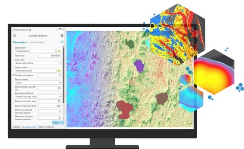
ArcGIS Spatial Analyst: Raster-Based Spatial Analysis Tools
ArcGIS Spatial Analyst is a powerful extension for ArcGIS Pro with a comprehensive toolset to create, query, map, and analyze raster data for spatial analysis.
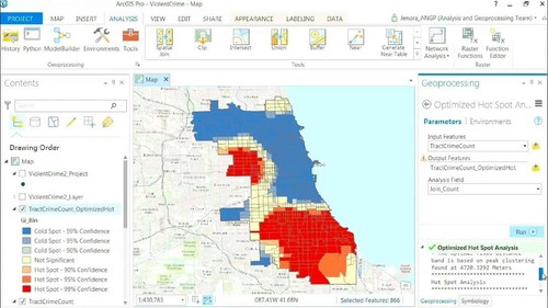
ArcGIS Publisher: Packaging Map Projects for Secure Sharing
ArcGIS Publisher packages map projects into standalone .ppkx files to share securely and open offline in the free ArcGIS Reader app.
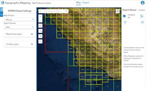
ArcGIS Production Mapping: Optimizing Professional Map Production Workflows
ArcGIS Production Mapping is a dedicated ArcGIS Pro extension that standardizes, automates, and manages large-scale map production workflows.
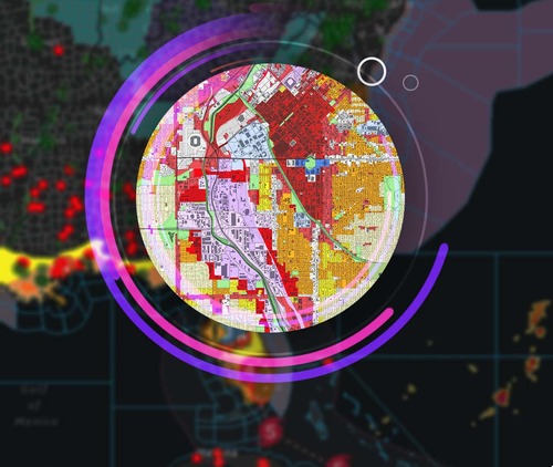
ArcGIS Pro: The Professional GIS Platform for a New Era
ArcGIS Pro is Esri's most modern and powerful professional desktop GIS application in the ArcGIS ecosystem, a complete replacement for ArcMap.

ArcGIS Network Analyst: Network Optimization and Logistics Problem Solving
ArcGIS Network Analyst, an ArcGIS Pro extension, models real-world networks to find optimal routes, service areas, closest facilities, and fleet routes.
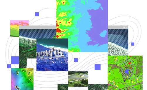
ArcGIS Image Analyst: Extracting Intelligence from Imagery and Remote Sensing Data
ArcGIS Image Analyst is an ArcGIS Pro extension for interpreting, classifying and extracting information directly from satellite, aerial and drone imagery.
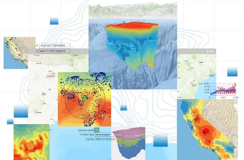
ArcGIS Geostatistical Analyst: The Science of Interpolation and Prediction from Sparse Data
ArcGIS Geostatistical Analyst provides scientific tools to interpolate and map spatial phenomena from discrete point data, with uncertainty maps.
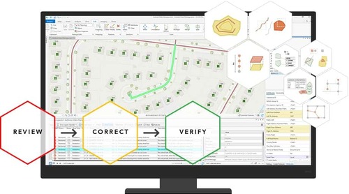
ArcGIS Data Reviewer - Comprehensive Quality Control (QC) for GIS Data
ArcGIS Data Reviewer automates finding, managing and correcting errors in spatial data, keeping your database accurate, consistent and trustworthy.
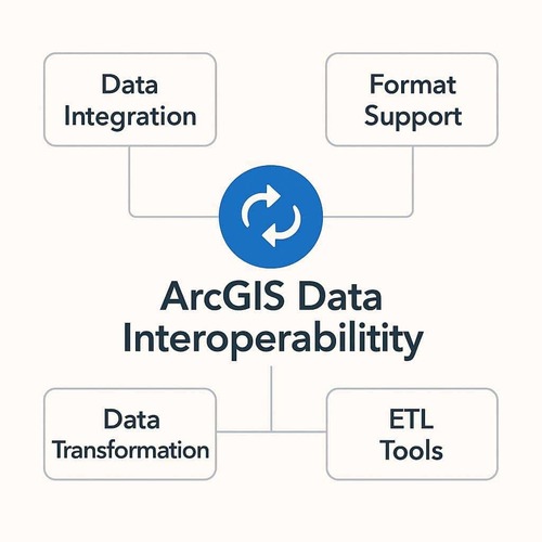
ArcGIS Data Interoperability – Converting Hundreds of Data Formats
ArcGIS Data Interoperability is an ArcGIS Pro extension that reads, writes and converts hundreds of data formats (CAD, BIM, XML, APIs) with visual ETL tools.
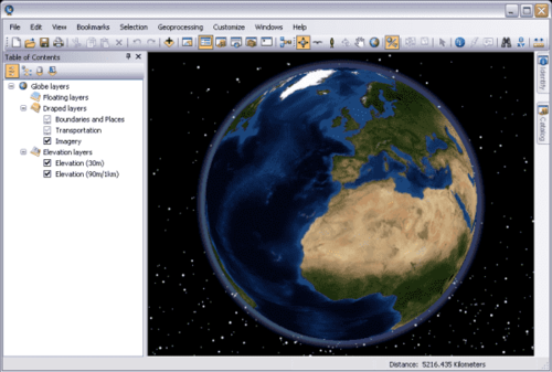
ArcGIS 3D Analyst: Bringing Spatial Data into the Third Dimension
ArcGIS 3D Analyst is an essential extension for ArcGIS Pro that visualizes, manages and analyzes GIS data in a true three-dimensional environment.
ENVI and SARscape
Remote sensing image analysis: ENVI, SARscape, LiDAR processing, deep learning and atmospheric correction modules.
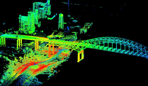
LiDAR Processing in ENVI: Point Cloud Classification, DEM and DSM Extraction
NV5 Geospatial has built LiDAR processing into the ENVI Base license: 3D visualization, point cloud classification, and DEM, DSM, and 3D feature extraction.
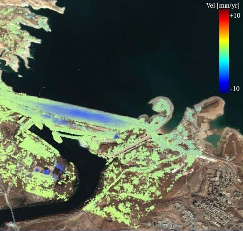
ENVI and SARscape: Leading Image Analysis Platforms for Remote Sensing and SAR
ENVI and SARscape are leading tools for extracting information from remote sensing and radar (SAR) imagery, with a license dependency diagram for each module.

ENVI: A Scientific Platform for Discovering Remote Sensing Data
ENVI (NV5 Geospatial) is a world-leading remote sensing image analysis solution; the Base License is a full toolset from data input to final products.

ENVI Deep Learning Module: Teaching Computers to "See" and Analyze Imagery
ENVI Deep Learning integrates TensorFlow and Keras into ENVI, so remote sensing and GIS professionals can train AI to recognize complex objects without coding.
ENVI Atmospheric Correction Module: Removing Atmospheric Effects
The ENVI Atmospheric Correction module removes atmospheric effects and converts remote sensing imagery to surface reflectance for quantitative analysis.