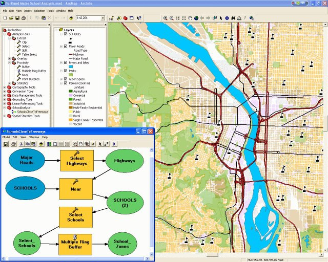
1. Solution consulting and implementation
- Analysis of customer and user requirements
- Strategy for building a Geographic Information System (GIS)
- Industry-specific data model design
- System integration
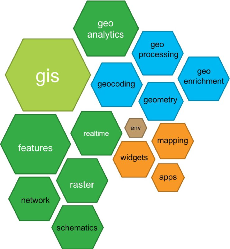
2. GIS application development
UNIGIS develops GIS applications on Esri’s ArcGIS technology:
- Web GIS applications with ArcGIS API for JavaScript
- Mobile GIS applications with ArcGIS APIs/SDKs for Android, iOS, .NET and Qt
- Desktop GIS applications with ArcGIS Engine and ArcGIS APIs for Java, .NET and Qt
We also develop applications on open-source platforms such as QGIS, GeoServer, OpenLayers, Leaflet and Mapbox, or on Google Maps using the Google Maps API.
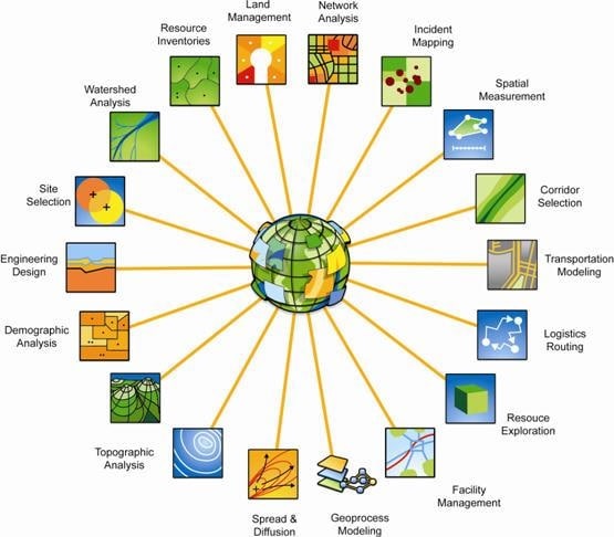
3. GIS data services
3.1. Data processing and conversion
- Digitizing, editing and updating data
- Digitizing paper maps
- Converting raster data to vector data
- Converting between vector formats
- Converting between coordinate systems and loading into databases
3.2. Data integration and standardization
- Standardizing geometry, coordinates, spatial relations, metadata, attributes, spelling and naming
- Integrating data into industry-specific databases based on predefined data models
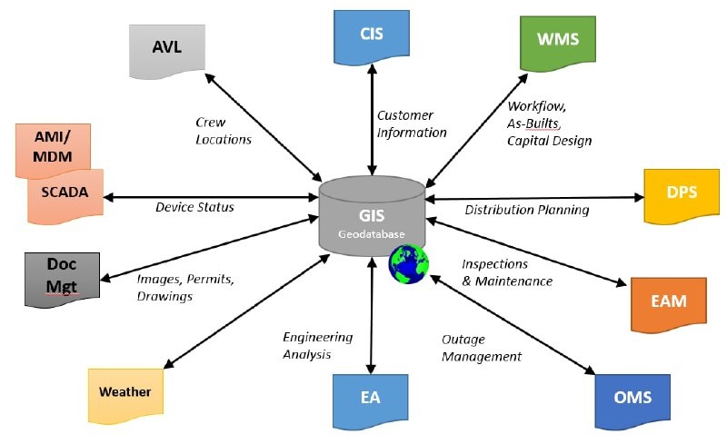
4. Other software services
Besides GIS, we provide other software solutions such as:
- Production management (ERP), warehouse and human resources software
- AutoCAD-based tools, including direct conversion from AutoCAD to ArcGIS
- MicroStation utilities for map editing