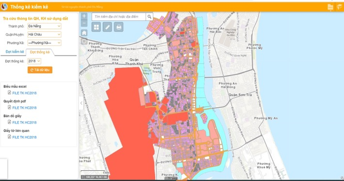
- Application to look up information about land plots, land prices and land funds of provinces and cities.
- Cadastral lookup application supporting specialist staff of the provincial Department of Natural Resources and Environment, and sharing data among city departments.
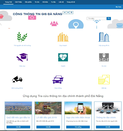
- Built on GIS portal technology, the foundation for developing shared GIS information and data services for the whole city.
- A shared GIS infrastructure for the whole city.
- Data is integrated from specialized departments.
- Management is decentralized by department, or data is shared with the public.
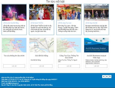
- Information on land plots, the city land price list by road, and the city’s land fund.
- Displayed information: plot shape, sheet number, plot number, area, whether a certificate has been issued, and whether it falls within a plan.
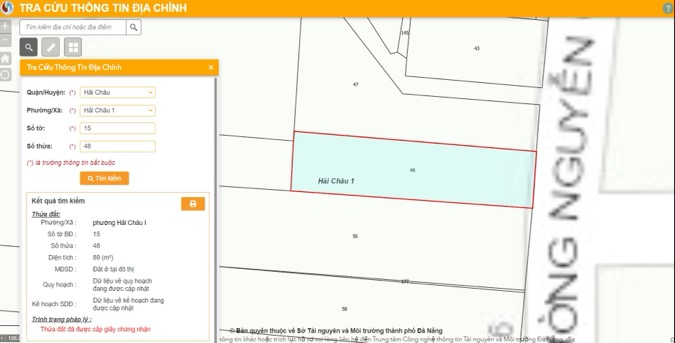
For citizens
- Look up city land prices.
- Look up the city’s land fund.
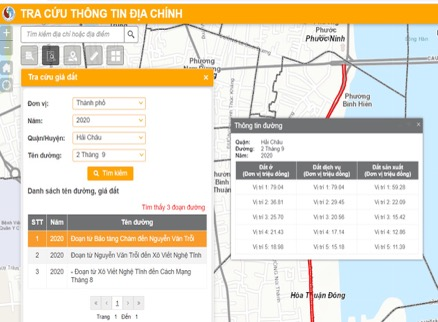
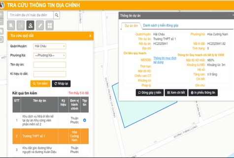
For staff
Tools provided:
- Cadastral information lookup
- Land price calculation
- Land fund update
- Planning and land-use planning lookup
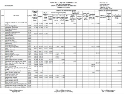
- Statistics and inventory
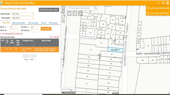
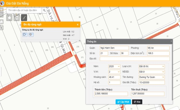
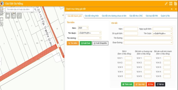
- Automatic land plot price calculation tool.
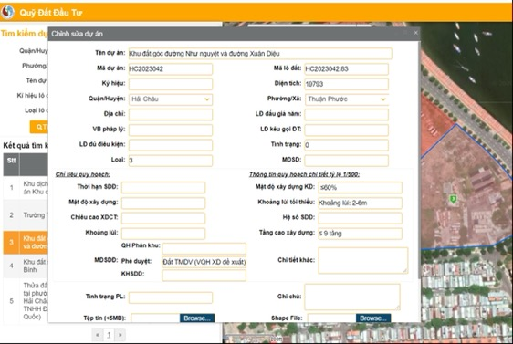
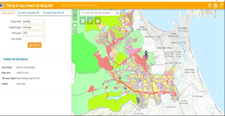
- Cadastral data is retrieved from the VLIS 2.0 database system.
- Look up cadastral information by plot, land use certificate, owner, file, scanned record, change history and secured-transaction history.
- Statistics.