In the modern world, imagery data from satellites, aircraft, drones and many other kinds of sensors has become an invaluable resource. However, managing, processing and extracting information from these enormous data collections is a major challenge. ArcGIS Image Server, a specialized server role in the ArcGIS Enterprise platform, is Esri’s complete solution to this problem, turning raw imagery into in-depth information that is easy to access and ready for analysis.
What Is ArcGIS Image Server?
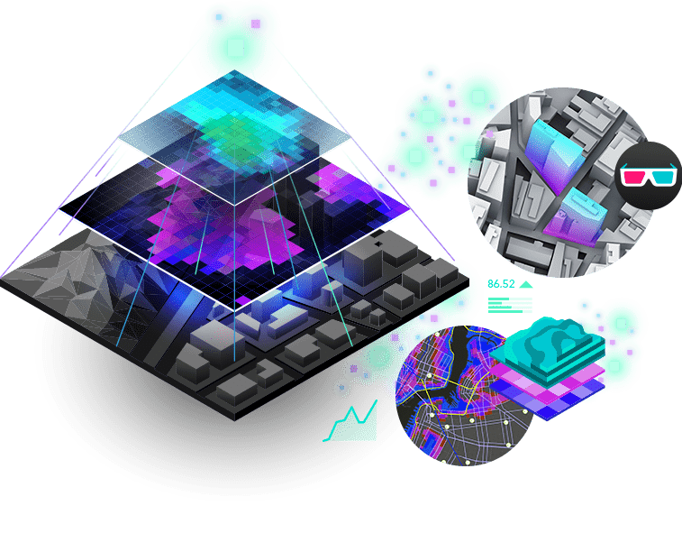
ArcGIS Image Server is a licensing role of ArcGIS Enterprise designed to quickly and efficiently manage, process and serve large-scale collections of imagery and raster data. Instead of having to preprocess and store multiple versions of the same data, Image Server lets you perform processing and analysis tasks dynamically, on the fly, as soon as they are requested, saving significant storage resources and time.
It works as a centralized system that lets you merge imagery from many different sources, formats, resolutions and dates into a single image service. This service can then be accessed and used across the entire ArcGIS platform, from desktop (ArcGIS Pro) and web (online maps) to mobile applications.
Core Capabilities of ArcGIS Image Server
ArcGIS Image Server provides a powerful set of tools that make it much more than a simple imagery storage tool.
1. Large-Scale Data Management and Delivery
Image Server excels at managing terabytes, even petabytes, of imagery data. By using mosaic datasets, it can create a virtual catalog from thousands of individual images. End users only need to interact with a single data layer, while the system automatically finds and displays the most suitable images based on the location, scale and time they are viewing.
2. On-the-fly Processing
This is one of its most powerful features. You can apply hundreds of raster functions directly to an image service without creating a new data file.
- Changing Band Combinations: For example, converting multispectral satellite imagery to false-color imagery to highlight vegetation.
- Applying vegetation indices: Quickly calculating the NDVI (Normalized Difference Vegetation Index) to assess crop health.
- Enhancing image quality: Adjusting brightness and contrast, or sharpening images right in the browser.
3. Large-Scale Raster Analytics and AI
When configured with the analytics role, Image Server can leverage the power of distributed computing to perform complex analysis tasks on huge datasets in a short time.
- Land Cover Classification: Automatically classifying features on the land surface such as urban areas, forests, water bodies and agricultural land.
- Change Detection: Comparing imagery from two different dates to identify changes in forests, urban expansion or coastal erosion.
- Deep Learning Integration: Applying trained AI models to automatically recognize and extract specific features such as buildings, roads, solar panels or diseased crops.
4. Multidimensional Data Support
Image Server is optimized for working with complex scientific data that varies over time and space, such as temperature, rainfall or sea level data. It allows users to easily access, visualize and analyze trends over time.
Notable Use Cases
ArcGIS Image Server delivers value to many different industries and fields.
1. Precision Agriculture
Agricultural companies use Image Server to manage drone and satellite imagery collected weekly.
- Crop health monitoring: Applying the dynamic NDVI function to produce vegetation health maps, helping farmers quickly identify areas that need fertilizer or irrigation.
- Yield estimation: Analyzing end-of-season imagery to count plants and estimate harvest yield.
- Pest and disease detection: Using deep learning models on high-resolution imagery to automatically delineate areas affected by pests and diseases.
2. Natural Resource and Environmental Management
Government agencies and non-governmental organizations rely on Image Server to monitor environmental change.
- Deforestation monitoring: Analyzing time series of Landsat or Sentinel satellite imagery to detect deforestation hot spots and issue early warnings.
- Disaster management: Quickly processing and distributing post-disaster imagery (floods, wildfires) to assess the extent of damage and coordinate rescue forces.
- Water quality monitoring: Analyzing multispectral imagery to monitor the growth of toxic algae or the level of sediment pollution in lakes and coastal areas.
3. Urban Planning and Land Management
Cities and architecture and planning departments use imagery to manage urban development.
- Impervious surface analysis: Automatically extracting surfaces such as rooftops, roads and parking lots from aerial imagery to calculate stormwater runoff and plan drainage systems.
- Basemap updates: Providing a citywide basemap service that is always up to date with the latest orthoimagery.
- Unauthorized construction management: Using the change detection feature to identify new construction projects that have not been permitted.
4. Defense and Intelligence
Image Server is an essential tool for geospatial intelligence (GEOINT) analysis.
- Activity monitoring: Providing fast and secure access to vast archives of satellite and reconnaissance imagery.
- Terrain analysis: Producing digital elevation models (DEM), slope maps and line-of-sight analysis for military operations.
- Object recognition: Deploying AI algorithms to automatically detect and track important targets.
5. Utilities and Infrastructure
Electric, telecommunications and transportation companies use Image Server to monitor their assets.
- Right-of-way inspection: Analyzing imagery and LiDAR data to identify trees at risk of falling onto power lines.
- Road/railway landslide monitoring: Tracking small shifts of the ground surface along critical infrastructure routes.
- Asset mapping: Using ultra-high-resolution imagery to digitize and inventory assets such as utility poles, cable cabinets or traffic signs.
Conclusion
ArcGIS Image Server is not just a storage tool; it is a powerful platform for analysis and information extraction. By centralizing management and providing dynamic processing, it helps organizations save costs, speed up analysis and make better-informed decisions based on increasingly rich imagery and remote sensing data.