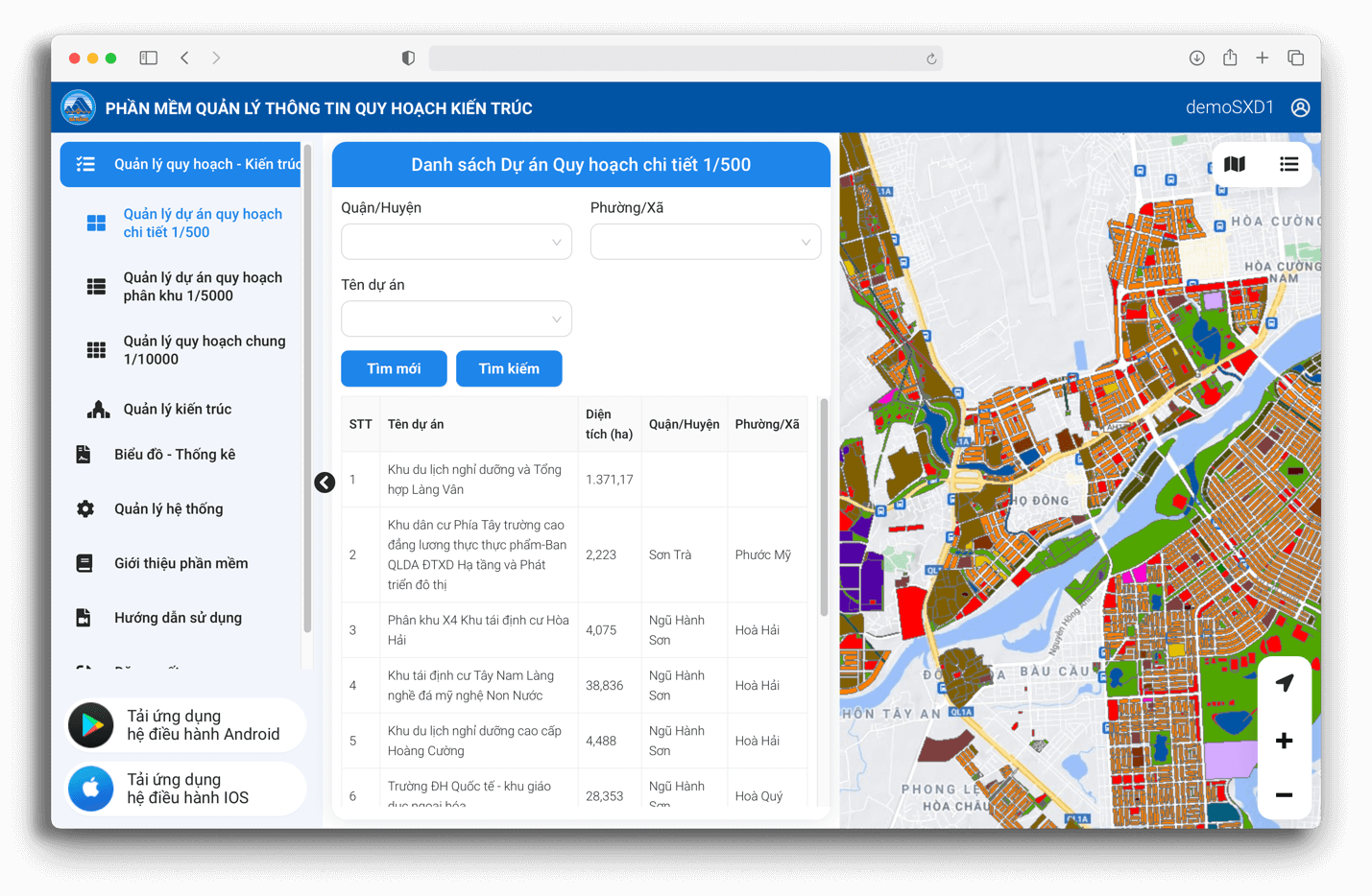
The Urban Construction Planning and Architecture Information System (built for Da Nang city) provides information about urban space and planning to citizens, organizations and businesses online, through a website and smart devices.
The system lets users look up and use planning information on digital and paper maps for each type of planning map. The planning maps are built on Geographic Information System (GIS) technology, so users can locate a land plot by sheet and plot number, by entering land coordinates (found on the land use certificate or the current land map), or by using the GPS in a smartphone.
The planning information provided covers urban space and planning from 1/500 detailed plans, 1/5000 subdivision plans and 1/10000 general plans, as well as approved construction architecture information in Da Nang city (7 districts).
Subdivision planning project management 1/5000


Subdivision planning project management 1/10000

Architecture planning management
