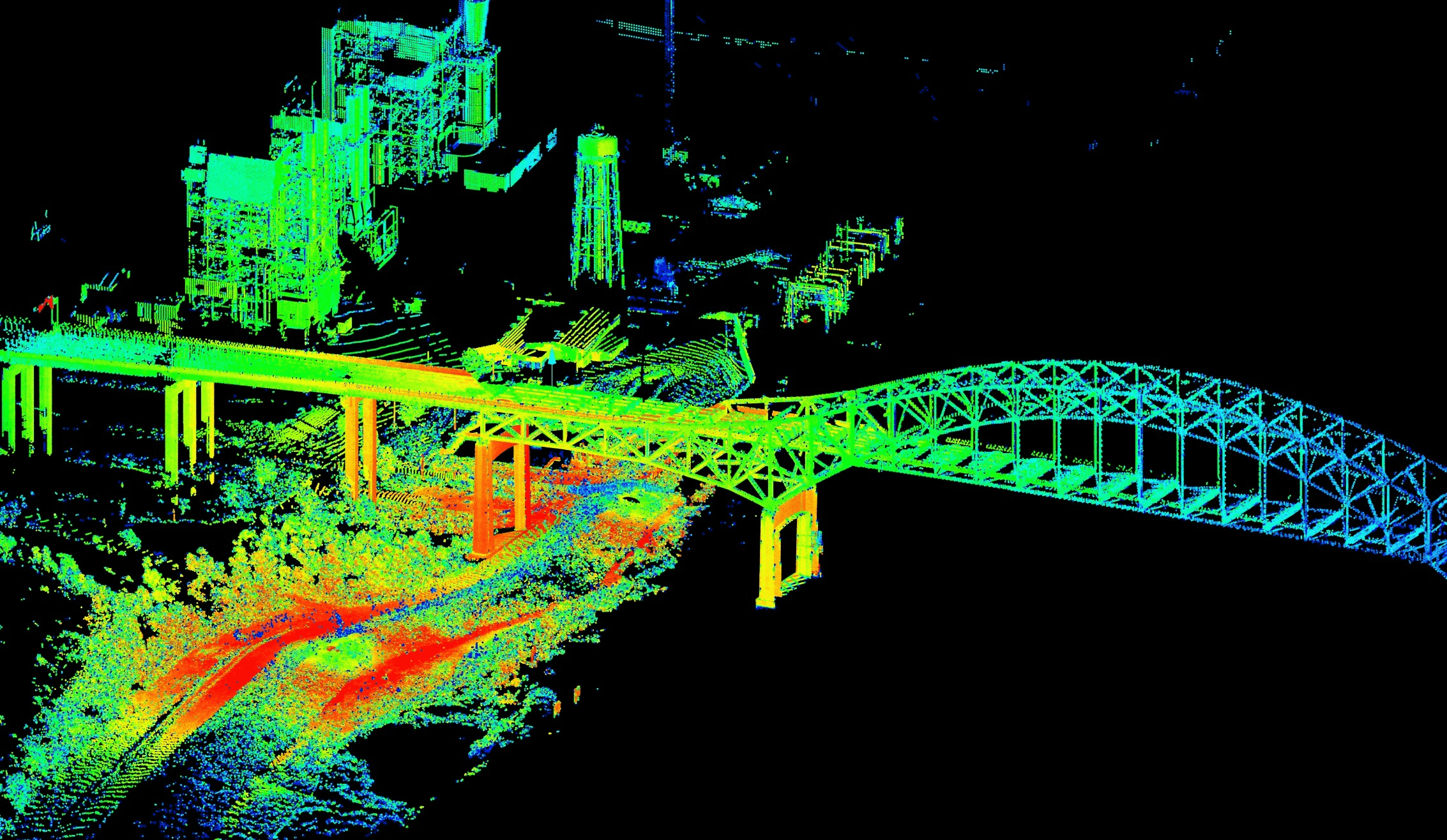
LiDAR (Light Detection and Ranging) data has revolutionized the mapping and modeling of the 3D world with unprecedented accuracy. However, processing the massive “point clouds” this technology produces has always required specialized tools. The good news for the ENVI user community is that you no longer need a separate module to do it.
NV5 Geospatial has fully integrated LiDAR processing capabilities into the ENVI Base license. This means every ENVI user has access to a powerful toolset that turns raw, complex point clouds into intelligent, meaningful 3D products ready for analysis, all within a single unified working environment.
Core LiDAR Capabilities Available in ENVI
The ENVI Base license now provides a complete workflow for mastering your point cloud data.
Integrated Technical Capabilities
- 3D Visualization: Easily view, navigate, and explore massive point cloud datasets in a smooth, interactive 3D environment.
- Point Filtering and Classification: This is the core capability and is now available to every user. ENVI provides powerful algorithms to automatically classify billions of points into different classes, such as: ground, low/medium/high vegetation, buildings, and power lines. This classification step is the foundation for all deeper analysis.
- Product Extraction: From the classified point cloud, you can automatically extract many valuable GIS products directly within ENVI:
- Digital Elevation Model (DEM): Create an ultra-accurate “bare-earth” surface model from only the points classified as ground.
- Digital Surface Model (DSM): Create a surface model that includes features on the ground such as trees and buildings.
- 3D Features: Automatically extract 3D vector features such as building footprints and the location, height, and crown diameter of individual trees.
Practical Applications
With LiDAR tools built in, ENVI users can solve countless problems across many fields more easily than ever before:
1. Detailed Forest Management
For forestry, LiDAR provides an unprecedented 3D view of forest structure. By using the tools available in ENVI to classify points into ground and canopy layers, forest managers can move beyond the limits of 2D imagery. They can accurately calculate the height of each tree and crown diameter, and from these estimate biomass and timber volume with high accuracy. This analysis makes harvest and conservation planning more sustainable and efficient.
2. 3D Urban Planning and Management
Building a 3D digital model (a “digital twin”) of a city has become simpler. From airborne LiDAR data, ENVI’s integrated tools can quickly and accurately extract 3D building blocks automatically. This 3D model is an indispensable input for visibility analysis, shadow simulation, construction planning for new buildings, and smart, sustainable urban development management.
3. High-Accuracy Flood Zone Mapping
The accuracy of hydrological and flood simulations depends entirely on the quality of the input terrain model. ENVI makes it possible to create an ultra-accurate “bare-earth” DEM by completely filtering out features such as trees and houses. This detailed DEM allows hydrologists to simulate water flow as realistically as possible, producing detailed and reliable flood risk maps that support land use planning and early disaster warning.
4. Power Line Safety Corridor Management
Trees growing too close to power lines are one of the main causes of outages. With ENVI, power utilities can process LiDAR data scanned along line corridors. The built-in classification tools automatically separate the points belonging to vegetation and power lines, then perform 3D distance analysis to pinpoint exactly where trees violate safety clearances. This helps them plan trimming proactively and efficiently, reducing risk and optimizing maintenance costs.
5. Archaeology and “Digital Deforestation”
Many ancient sites are hidden beneath dense forest canopy, making detection by traditional methods impossible. LiDAR can penetrate gaps in the foliage and record points on the ground. ENVI’s classification tools let archaeologists carry out a process likened to “digital deforestation.” By removing all LiDAR points belonging to vegetation and visualizing only the ground points, they can discover man-made structures such as old foundations, paths, or ancient buildings concealed by time and nature.
Conclusion
Integrating LiDAR processing capabilities into the ENVI Base license is a major step forward, delivering outstanding value to users. Every professional who owns ENVI now has an intelligent processing pipeline that converts billions of raw data points into structured, accurate 3D GIS products ready for the most demanding analysis tasks. This not only saves costs but also creates a more seamless and powerful workflow for understanding our three-dimensional world.