GIS and remote sensing blog and news

Dominating the Battlefield with Advanced Remote Sensing and AI-Enhanced Situational Awareness
How advanced remote sensing (SAR, LiDAR, hyperspectral, thermal) and AI deliver superior situational awareness and information superiority for defense.
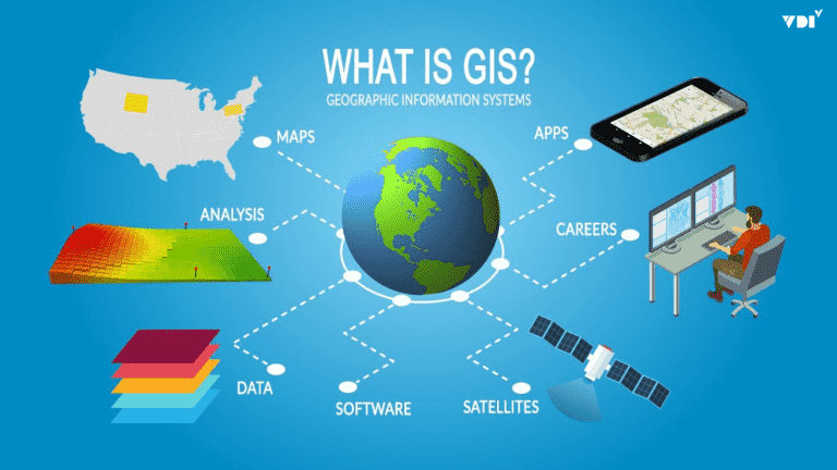
Building GIS for Government Agencies: Enterprise GIS vs. Open Source – Which Is Best for Sustainability and Security?
Open source GIS suits research, academic work, small projects, and teams with strong in-house R&D. See how it compares with enterprise GIS for government.
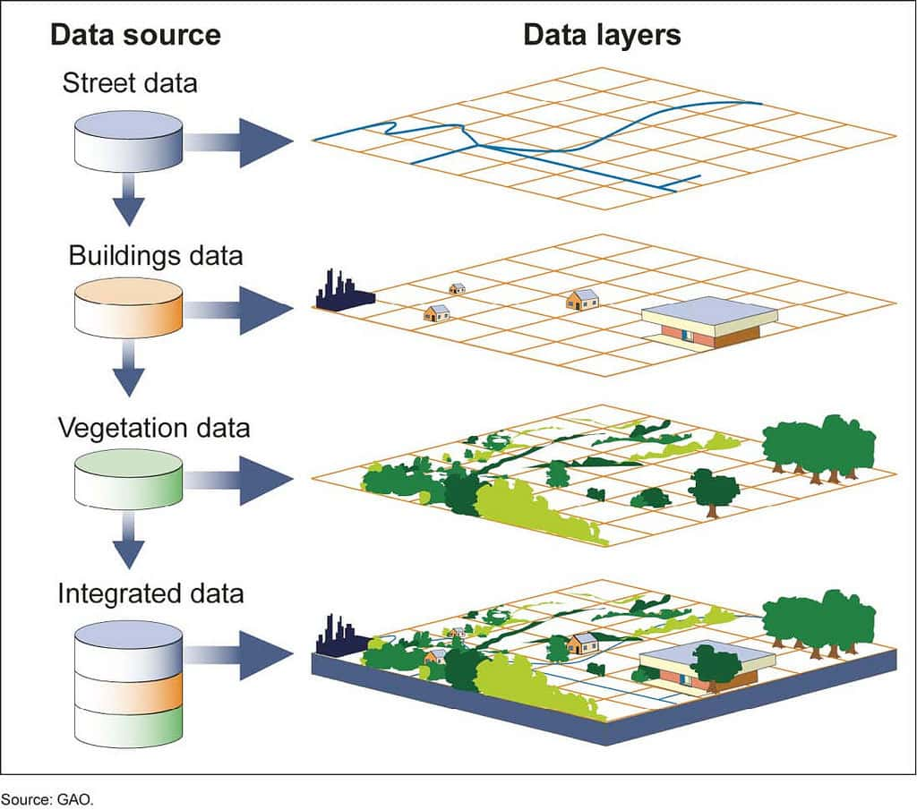
GIS in Disaster Management: From Risk Mapping to Real-Time Response Command
GIS is the core of a modern digital command center, helping Vietnam move from reactive to proactive, data-driven disaster prevention and response.

GIS in Telecommunications: From 5G Network Planning to Better Customer Experience
GIS ties network, customer, and market data to one factor, location, giving telecom operators stronger spatial analysis for 5G planning and operations.
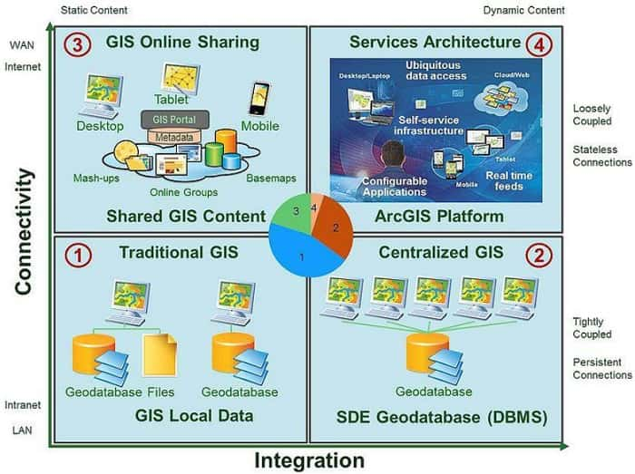
GIS in the Power Sector: From Grid Digitization to Optimized Operations and Outage Response
GIS is the backbone of the Smart Grid, helping Vietnam's power sector digitize assets, speed up outage response, cut losses, and plan the grid proactively.
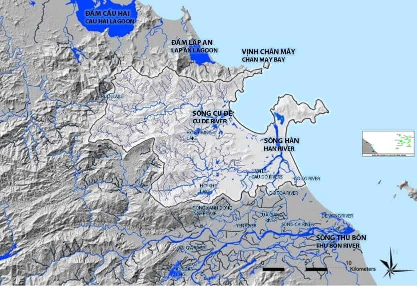
GIS in Water Resources Management: From River Basin Monitoring to Pollution Risk Warning
How GIS supports water resources management in Vietnam: river basin digital maps, real-time monitoring, pollution warning, licensing and strategic planning.

GIS Platform: The Heart of Digital Government in Land, Resource, and Urban Infrastructure Management in Vietnam
GIS as strategic infrastructure and the digital heart of digital government: unifying geospatial data for land, resource, and urban management in Vietnam.

The Future and Challenges of Tactical Edge Computing
Tactical edge computing opens up endless possibilities, but the road to widespread adoption still faces major challenges. Here is what lies ahead.
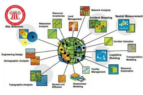
The Geospatial Heart of the Digital Nation: A Strategic Framework for Implementing Vietnam's National Spatial Data Infrastructure
Vietnam's digital transformation goals under Decision 749/QD-TTg depend on a national spatial data infrastructure (SDI), the government's nervous system.
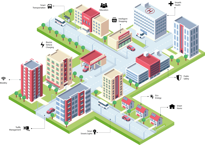
UNIGIS Software Product Portfolio for All Three User Groups
Solutions for urban governments: a unified urban information system, GIS data for construction planning, building permits, and infrastructure management.

What Is ArcGIS Enterprise?
ArcGIS Enterprise gives administrators full control over deploying and operating a Web GIS system, on Windows, Linux, or Kubernetes.