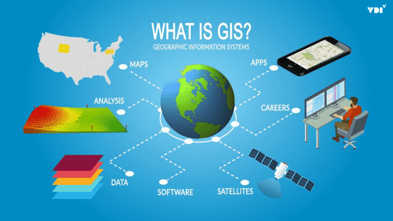

With the boom in the Internet of Things (IoT), artificial intelligence (AI), and Big Data, telecommunications infrastructure has become the backbone of the digital economy. Network operators in Vietnam are entering a fierce race not only to sustain but also to expand and improve service quality. In that race, “location intelligence” delivered by Geographic Information Systems (GIS) is emerging as a core competitive advantage, helping solve the industry’s most complex problems.
The Infrastructure Race in the Digital Era: Challenges and Pressures
The telecommunications industry faces a high-pressure competitive environment with three main challenges:
- Expanding Coverage, Especially 5G: Deploying a 5G network requires a much denser grid of cell sites than 4G. Choosing the wrong location not only wastes millions of dollars in investment but also degrades coverage quality, directly affecting competitiveness.
- Managing Complex Network Assets: Operators run a huge base of assets, including millions of kilometers of optical fiber, hundreds of thousands of cell sites, equipment racks, and other devices, both aerial and underground. Managing these assets with traditional methods such as spreadsheets or CAD drawings is inefficient, making maintenance, troubleshooting, and planning difficult.
- Improving Customer Experience: In a saturated market, customer experience determines loyalty. Today’s customers demand a stable signal anytime, anywhere, and fast, accurate technical support. Identifying and fixing weak-signal “coverage holes” or dispatching technicians efficiently is no simple problem.
How Does GIS Solve These Problems?
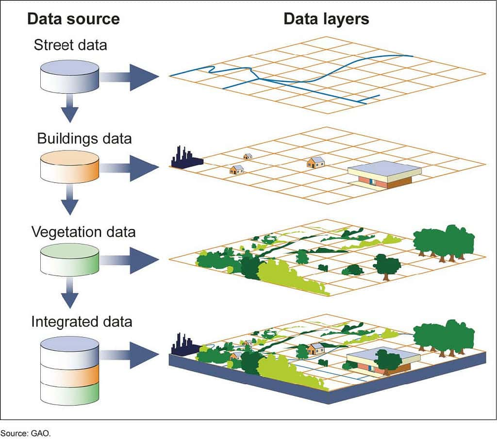
GIS provides an integrated platform where all network, customer, and market data is tied to one common factor: location. This opens up superior analysis and operational capabilities.
1. Smart Network Planning and Design
This is the application that delivers the clearest return on investment, especially for 5G networks. Instead of placing cell sites based on experience, GIS enables planning based on accurate data:
- Coverage Analysis (RF Planning): Using a digital elevation model (DEM) and 3D models of buildings, GIS can accurately simulate how radio waves propagate through space, accounting for obstacles such as hills, mountains, and high-rise buildings. This lets engineers “see” shadowed areas in advance and optimize antenna direction and height.
- Identifying Optimal Locations: GIS lets you overlay theoretical coverage maps onto other data layers such as population density, data usage data, and the locations of office buildings and industrial parks. Spatial analysis tools can automatically suggest cell site locations that deliver the best coverage while targeting high-demand areas, helping maximize revenue per dollar invested.
2. Comprehensive Management of Physical Network Infrastructure
GIS creates a “digital twin” of the entire network infrastructure, helping operators shift from reactive to proactive management:
- Centralized Network Map: All information about the fiber-optic network (cable routes, capacity, cable types, splice points), the locations of BTS sites, equipment racks, and other devices is digitized and managed on a single map. When a cable break occurs, the GIS system can instantly pinpoint the location, delineate the affected customers, and guide the repair crew along the optimal route, significantly reducing Mean Time to Repair (MTTR).
- Proactive Maintenance Planning: Based on equipment lifespan data and incident history recorded on the map, GIS helps managers plan maintenance and replace network components proactively before they fail, ensuring service continuity.
3. Improving Customer Experience and Service
GIS is the bridge between operators and customers through the lens of location:
- Visualizing Weak-Signal “Coverage Holes”: By aggregating customer reports about signal quality (via apps and call centers) and displaying them on a map, GIS helps the technical team quickly identify the “hot spots” that need optimization. Real measurement data from field technicians is also updated directly on the map, creating a comprehensive, live picture of network quality.
- Smart Technician Dispatch: When a customer requests technical support at home, the GIS system automatically locates the customer, finds the nearest technician with the right skills, and then guides them along the optimal route. This not only reduces customer waiting time but also helps operators save travel costs and increase labor productivity.
Conclusion: Location Intelligence - A Core Competitive Advantage
In an industry as fiercely competitive as telecommunications, making fast, accurate, data-driven decisions is vital. Geographic Information Systems (GIS) provide “location intelligence”, a deep spatial analysis capability that helps operators solve all three major problems together: efficient network planning, optimal infrastructure operations, and excellent customer service.
Investing in GIS is not just investing in technology, but investing in the ability to understand the market and optimize every aspect of the business.
Contact UNIGIS. We provide specialized GIS solutions designed to meet the demanding requirements of the telecommunications industry, helping you stay one step ahead in the technology race.